


Empowering Africa’s workforce for a precision-driven resource economy
Our goal is simple: build capacity that strengthens national and industrial ability to explore, monitor, and manage resources with scientific accuracy and global-best practices.
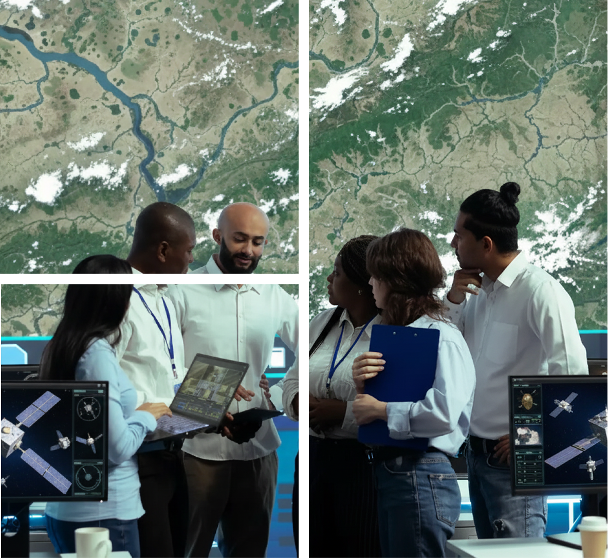
SATNMR provides specialized training programs designed to build local expertise in satellite remote sensing, NMR analysis, GIS interpretation, and geoscience-based decision-making. Our training modules are structured to help government agencies, exploration firms, research institutions, and private operators develop the technical skills required to fully utilize modern earth-observation and subsurface detection technologies.
USE CASES
Real-world Impact, Practical Solutions

Advanced NMR Subsurface Interpretation
Hands-on training focused on interpreting NMR data for accurate identification of water, hydrocarbons, metals, and mineral deposits.
Remote Sensing & Image Analysis Workflows
Practical training in optical, multispectral, and hyperspectral image processing integrated with NMR insights.
GIS Mapping, Modelling & Spatial Analytics
Comprehensive GIS training covering spatial analysis, modelling, and geospatial visualization for subsurface and surface data.
Decision-Support for Resource & Environmental Projects
Strategic training focused on data-driven decision-making for mining, energy, exploration, and environmental applications.